
geographicCoverage
5590 record(s)
Type of resources
Available actions
Topics
INSPIRE themes
Keywords
Contact for the resource
orgNameSNIG
Provided by
Years
Formats
Representation types
Update frequencies
Status
Service types
Scale
Resolution
geoDescCode
cartografia
geographicCoverage
geographicCoverageDesc
inspirecore
hvd
referenceDateRange
denominatorRange
resolutionRange
dataPolicy
openServiceType
dataType
dataFormat
-
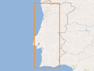
High resolution Digital Surface Model of the Balança Mine.
-

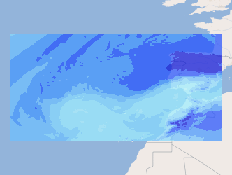
Three-hourly forecast maps of accumulated precipitation in mm/3h in the Iberian Peninsula, generated with the AROME model at 00UTC for the next 48 hours. This visualization service includes the individual layers and also a multidimensional layer that brings all of them together.
-
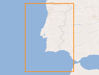
Climate normal from annual total precipitation, during the period 1971-2000, obtained by multivariate regression with altitude and distance to the coast, explanatory variables, and ordinary kriging of residues.
-
Viewing Service according to the INSPIRE profile (ISO19128-WMS 1.3.0), included in Annex III, climate normals 1971-2000 from Portugal mainland from Annual precipitation, during the period 1971-2000, obtained by multivariate regression with altitude and distance to the coast, explanatory variables, and ordinary kriging of residues.
-

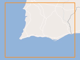
Delimitation of portuguese coastal shellfish waters, according to the Law nº 236/98 and the European Directive 2006/113/EC concerning the protection of the aquactic environment and improvement of water quality in order to support shellfish (bivalve and gasteropod molluscs) life and growth and thus to contribute to the high quality of shellfish products directly edible by man, as well as the evaluation of the quality of coastal shellfish waters - Conformity according to Directive 113/2006 / EC, excluding the metals silver (Ag) and Arsenic (As), and fecal coliforms.
-
Location of the sampling stations considered in the analyzes from IPMA's Marine biotoxins Laboratory included in the National Bivalve Molluscs Monitoring System.
-
Within Portugal's National Biological Sampling Project (PNAB) a set of activities are conducted in the collection, management and use of biological data, collected from the registered commercial fleet in mainland Portugal (fisheries-dependent data) and several research surveys (independent fisheries data). These activities allow the assessment of the state of fishery resources, population structure, distribution and abundance of resources, diversity and dynamics of biological communities associated with the fishery resources and biological studies (growth, reproduction).This resource shows the geographic distribution of blue whiting abundancy index (nr. individuals/hour) registered during the CRUSTACEOS2013 campaign in June 2013.
-

Within Portugal's National Biological Sampling Project (PNAB) a set of activities are conducted in the collection, management and use of biological data, collected from the registered commercial fleet in mainland Portugal (fisheries-dependent data) and several research surveys (independent fisheries data). These activities allow the assessment of the state of fishery resources, population structure, distribution and abundance of resources, diversity and dynamics of biological communities associated with the fishery resources and biological studies (growth, reproduction).This resource shows the geographic distribution of Norway lobster abundancy index (nr. individuals/hour) registered during the CRUSTACEOS2014 campaign in June 2014.
-
Three-hourly forecast maps of total column water vapour in kg m-2 in the Atlantic region, generated daily from ECMWF data, with forecasts every 3 hours of the current day from 00h to the next 120 hours. This visualization service includes the individual layers and also a multidimensional layer that brings all of them together.
-
Within Portugal's National Biological Sampling Project (PNAB) a set of activities are conducted in the collection, management and use of biological data, collected from the registered commercial fleet in mainland Portugal (fisheries-dependent data) and several research surveys (independent fisheries data). These activities allow the assessment of the state of fishery resources, population structure, distribution and abundance of resources, diversity and dynamics of biological communities associated with the fishery resources and biological studies (growth, reproduction). This resource shows the geographic distribution of true sardine abundancy index (nr. individuals/hour) registered during the PELAGO08 acoustic campaign in April 2008.