
cl_maintenanceAndUpdateFrequency
asNeeded
916 record(s)
Type of resources
Available actions
Topics
INSPIRE themes
Keywords
Contact for the resource
orgNameSNIG
Provided by
Years
Formats
Representation types
Update frequencies
Status
Service types
Scale
Resolution
geoDescCode
cartografia
geographicCoverage
geographicCoverageDesc
inspirecore
hvd
referenceDateRange
denominatorRange
resolutionRange
dataPolicy
openServiceType
dataType
dataFormat
-
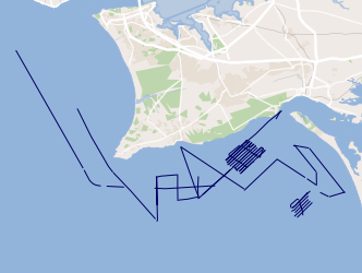
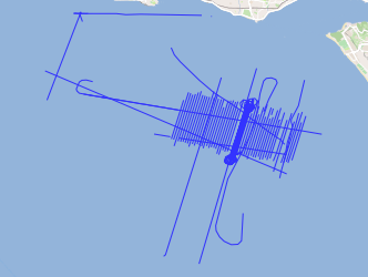
Joint campaigns of the TOPOMED and FREEZE projects sponsored by the Portuguese Foundation for Science and Technology (FCT). These two projects share complementary and objective areas of study. The first focuses on the effects of neotectonics on the evolution of landscape and environments and the second on the investigation of underwater discharges of fresh water.
-
Web Map Visualization, INSPIRE (ISO19128-WMS 1.3.0) compliance, of the: delimitation of portuguese coastal monitoring areas, according to the Law nº 236/98 and the European Directive 2006/113/EC concerning the protection of the aquactic environment and improvement of water quality in order to support shellfish (bivalve and gasteropod molluscs) life and growth and thus to contribute to the high quality of shellfish products directly edible by man, as well as the evaluation of the quality of coastal shellfish waters - Conformity according to Directive 113/2006 / EC, excluding the metals silver (Ag) and Arsenic (As), and fecal coliforms; Artificial reef complexes deployed by IPMA off the Portuguese coast, Algarve and Nazaré, to serve as instruments for the revitalization of coastal ecosystems, coastal fisheries management and integrated coastal management.
-

Notifications concerning marine casualties and marine incidents occurring in the Portuguese territorial waters and in internal waters and with Portuguese flaged vessels in any part of the world.
-
ASTARTE geophysical campaigns aim to collect the necessary information for the assessment, strategy and risk reduction for Tsunamis in Europe.
-
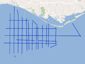
This project aims to characterize the evolution of the coastline during the Quaternary and discern what were the contributions to this evolution: 1) neotectonic, 2) eustatic variations and 3) sedimentary transport.
-
TAGUSDELTA geophysical campaigns aim to collect the necessary information to elaborate the high resolution 3D seismic stratigraphy of the Tagus Delta.
-
Within Portugal's National Biological Sampling Project (PNAB) a set of activities are conducted in the collection, management and use of biological data, collected from the registered commercial fleet in mainland Portugal (fisheries-dependent data) and several research surveys (independent fisheries data). These activities allow the assessment of the state of fishery resources, population structure, distribution and abundance of resources, diversity and dynamics of biological communities associated with the fishery resources and biological studies (growth, reproduction).The spring acoustic surveys are usually held in April/May with the ship "Noruega" and cover the Portuguese continental waters and the Spanish waters of the Gulf of Cadiz, between 20 and 200m deep.
-

Within Portugal's National Biological Sampling Project (PNAB) a set of activities are conducted in the collection, management and use of biological data, collected from the registered commercial fleet in mainland Portugal (fisheries-dependent data) and several research surveys (independent fisheries data). These activities allow the assessment of the state of fishery resources, population structure, distribution and abundance of resources, diversity and dynamics of biological communities associated with the fishery resources and biological studies (growth, reproduction).The crustaceans campaigns are usually held in June/July with the ship “Noruega” and cover the extension of the Portuguese coast of Alentejo and Algarve.
-
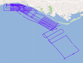
The FREEZE 2010 geophysical cruise was planned to acquire a detailed bathymetry just off Olhos d'Agua, high resolution seismic and Side Scan Sonar data in order to investigate and define the geological and the tectonic settings off Olhos d'Agua (Algarve coast, South Portugal) and to find any possible evidence of supposed existing submarine groundwater discharges (SGDs) in this area.
-
Geological Map of Portugal, at scale 1:200 000, composed of the sheets published at this scale (Sheets: 1, 2, 4, 6, 7 and 8).