geoDescCode
PT
147 record(s)
Type of resources
Available actions
INSPIRE themes
Provided by
Years
Formats
Representation types
Update frequencies
Status
Service types
Scale
Resolution
geoDescCode
cartografia
geographicCoverage
geographicCoverageDesc
inspirecore
hvd
referenceDateRange
denominatorRange
resolutionRange
dataPolicy
openServiceType
dataType
dataFormat
-
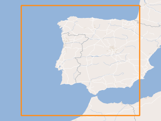
Three-hourly forecast maps of mean sea level pressure in Pascal for the Iberian Peninsula, generated by the AROME model. The maps are generated twice a day, at 00UTC and 12UTC, with forecasts of the following 48 hours.
-
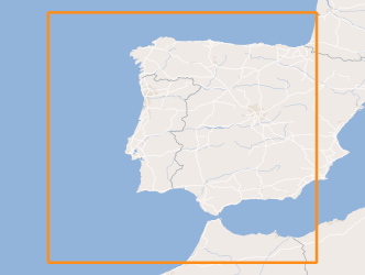
Three-hourly forecast maps of wind (u component + v component) at 10 meters in the Iberian Peninsula, generated with the AROME. The maps are generated twice a day, at 00UTC and 12UTC, with forecasts of the following 48 hours.
-
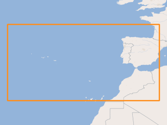
Three-hourly forecast maps of mean sea level pressure in Pascal in the Atlantic region, generated from ECMWF data twice a day, at 00UTC and 12UTC, with forecasts every 3 hours of the current day from 00h to the next 120 hours.
-
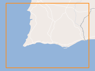
Within Portugal's National Biological Sampling Project (PNAB) a set of activities are conducted in the collection, management and use of biological data, collected from the registered commercial fleet in mainland Portugal (fisheries-dependent data) and several research surveys (independent fisheries data). These activities allow the assessment of the state of fishery resources, population structure, distribution and abundance of resources, diversity and dynamics of biological communities associated with the fishery resources and biological studies (growth, reproduction).This resource shows the geographic distribution of Norway lobster abundancy index (nr. individuals/hour) registered during the CRUSTACEOS2010 campaign in June 2010.
-

Within Portugal's National Biological Sampling Project (PNAB) a set of activities are conducted in the collection, management and use of biological data, collected from the registered commercial fleet in mainland Portugal (fisheries-dependent data) and several research surveys (independent fisheries data). These activities allow the assessment of the state of fishery resources, population structure, distribution and abundance of resources, diversity and dynamics of biological communities associated with the fishery resources and biological studies (growth, reproduction).This resource shows the geographic distribution of true sardine abundancy index (nr. individuals/hour) registered during the PELAGO09 acoustic campaign in April 2009.
-

Within Portugal's National Biological Sampling Project (PNAB) a set of activities are conducted in the collection, management and use of biological data, collected from the registered commercial fleet in mainland Portugal (fisheries-dependent data) and several research surveys (independent fisheries data). These activities allow the assessment of the state of fishery resources, population structure, distribution and abundance of resources, diversity and dynamics of biological communities associated with the fishery resources and biological studies (growth, reproduction).This resource shows the geographic distribution of mediterranean horse mackerel abundancy index (nr. individuals/hour) registered during the PELAGO09 acoustic campaign in April 2009.
-
Os PCB e PCT constituem um grupo de produtos químicos que, devido às suas propriedades dielétricas, foram, no passado, amplamente utilizados em equipamentos industriais, nomeadamente em transformadores e condensadores elétricos. São também substâncias classificadas como poluentes orgânicos persistentes (POP), substâncias com caraterísticas de perigosidade elevada para a saúde humana e para o ambiente, estando a sua comercialização e utilização sujeitas a diversas restrições.No âmbito da Diretiva 96/59/CE do Conselho, de 16 de setembro, que estabelece as regras a que ficam sujeitas a eliminação dos PCB novos ou usados e a descontaminação ou a eliminação de equipamentos que contenham PCB, tendo em vista a sua destruição total, transposta pelo Decreto-Lei nº 277/99, de 23 de julho, alterado pelo Decreto-Lei nº 72/2007, de 27 de março, os Estados-membros deverão elaborar um inventário de PCB.
-
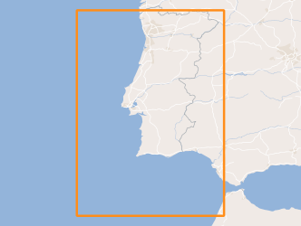
Within Portugal's National Biological Sampling Project (PNAB) a set of activities are conducted in the collection, management and use of biological data, collected from the registered commercial fleet in mainland Portugal (fisheries-dependent data) and several research surveys (independent fisheries data). These activities allow the assessment of the state of fishery resources, population structure, distribution and abundance of resources, diversity and dynamics of biological communities associated with the fishery resources and biological studies (growth, reproduction). This resource shows the geographic distribution of atlantic chub mackerel abundancy index (nr. individuals/hour) registered during the PELAGO08 acoustic campaign in April 2008.
-
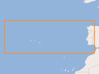
Location of structures resulting from the submarine fluids emissions, such as: mud volcanoes (methane hydrates); Pockmaks (methane) and hydrothermal vents (fluids enriched in salts and metallic elements), located between the Mid-Atlantic Rift zone (Azores archipelago) and the continental margin.
-
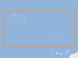
Volcanic centres in the Portuguese offshore, located between the Mid-Atlantic Rift zone (Azores archipelago) and the continental margin.
