Format
PNG
468 record(s)
Type of resources
Available actions
INSPIRE themes
Provided by
Years
Formats
Representation types
Update frequencies
Service types
Scale
Resolution
geoDescCode
cartografia
geographicCoverage
geographicCoverageDesc
inspirecore
hvd
referenceDateRange
denominatorRange
resolutionRange
dataPolicy
openServiceType
dataType
dataFormat
-
Ortofotos de 10 cm do Município de Oliveira do Hospital. Resolução espectral 4 bandas (RGB e NIR) e resolução radiométrica de 16 bits. Esta cobertura foi efetuada no ano 2011 com a utilização da câmara aérea digital DMC 129, com distância focal de 120 mm. Esta informação encontra-se no sistema de referência PT-TM06/ETRS89 e a referência vertical é o Datum Altimétrico de Cascais Helmert 38 e o modelo de geóide aplicado é o GeodPT08.
-
Ortofotos de 10 cm do Município de Penafiel. Resolução espetral 4 bandas (RGB e NIR), obtida por mosaico de fotografia aérea digital ortorretificada. O voo foi efetuado com câmara fotogramétrica digital, DMC da Intergraph, no mês de maio de 2014. Esta cobertura compreende uma divisão em 265 ficheiros de 1 km x 1 km, sem sobreposição, nas direções E-O e N-S, respetivamente.
-
Ortofotos de 10 cm do Município de Seia. Resolução espectral 4 bandas (RGB e NIR) e resolução radiométrica de 16 bits. Esta cobertura foi efetuada no ano de 2014 com a utilização da câmara aérea digital DMC 129, com distância focal de 120 mm e é composta por 509 unidades com dimensão 1 km x 1km. Esta informação encontra-se no sistema de referência PT-TM06/ETRS89 e a referência vertical é o Datum Altimétrico de Cascais Helmert 38.
-
Ortofotos de 10 cm dos Municípios de São Brás de Alportel e Tavira. Esta cobertura foi efetuada no ano de 2014 e é composta por 848 ortofotos. Cartografia de Suporte do Lote 1, Bloco B – São Brás de Alportel e Tavira – para o Projeto Aquisição de Serviços de Execução do Cadastro Predial. O projeto compreende a área resultante da cobertura integral dos concelhos de S. Brás de Alportel e Tavira, num total de 848 ficheiros.
-
Ortofotos de 10 cm do Município de Loulé. Resolução espetral 4 bandas (RGB e NIR) e resolução radiométrica de 8 bits. Esta cobertura foi efetuada no ano de 2011 com a utilização de câmaras aéreas digitais Vexcel Ultracam X e DMC129 e é composta por 870 Ortofotos.
-
Ortofotos de 10 cm do Município de Paredes obtida por mosaico de fotografia aérea digital ortorrectificada. Resolução espetral 4 bandas (RGB e NIR) e resolução radiométrica de 16 bits. O voo foi efetuado com câmara fotogramétrica digital, DMC da Intergraph, nos meses de maio e junho de 2011. Esta cobertura compreende uma divisão em 204 ficheiros de 1 km x 1 km, sem sobreposição, nas direções E-O e N-S, respetivamente.
-
Serviço WMS IFAP- Parcelas, ocupações de solo e culturas do sistema de Identificação Parcelar (iSIP) – IFAP
-

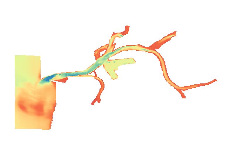
WMS criado com base numa camada de informação matricial gerada a partir de uma malha regular de profundidades, com uma resolução espacial de 25 mts
-
Serviço de visualização Ortofotos Digitais de Portugal Continental - Falsa Cor - 1995.
-
Carta do Regime de Uso do Solo - São João da Pesqueira. Informação extraída da Planta de Ordenamento do PDM em vigor com aplicação da classificação e qualificação do solo estabelecida no Decreto Regulamentar n.º 15/2015 de 19 de agosto. Gestão efetuada pela DGT.
