
geographicCoverage
PT
150 record(s)
Type of resources
Available actions
INSPIRE themes
Provided by
Years
Formats
Representation types
Update frequencies
Status
Service types
Scale
Resolution
geoDescCode
cartografia
geographicCoverage
geographicCoverageDesc
inspirecore
hvd
referenceDateRange
denominatorRange
resolutionRange
dataPolicy
openServiceType
dataType
dataFormat
-
Three-hourly forecast maps of mean sea level pressure in Pascal for the Iberian Peninsula, generated by the AROME model. The maps are generated twice a day, at 00UTC and 12UTC, with forecasts of the following 48 hours.
-
Three-hourly forecast maps of wind (u component + v component) at 10 meters in the Iberian Peninsula, generated with the AROME. The maps are generated twice a day, at 00UTC and 12UTC, with forecasts of the following 48 hours.
-
Three-hourly forecast maps of surface pressure in Pascal in the Atlantic region, generated from ECMWF data twice a day, at 00UTC and 12UTC, with forecasts every 3 hours of the current day from 00h to the next 120 hours.
-
Three-hourly forecast maps of air temperature at 2 meters in Kelvin for the Iberian Peninsula, generated with the AROME model. The maps are generated twice a day, at 00UTC and 12UTC, with forecasts of the following 48 hours.
-
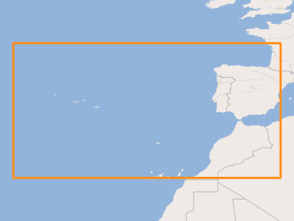
Three-hourly forecast maps of total column water vapour in kg m-2 in the Atlantic region, generated from ECMWF data twice a day, at 00UTC and 12UTC, with forecasts every 3 hours of the current day from 00h to the next 120 hours.
-
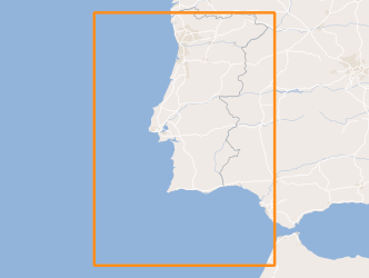
Within Portugal's National Biological Sampling Project (PNAB) a set of activities are conducted in the collection, management and use of biological data, collected from the registered commercial fleet in mainland Portugal (fisheries-dependent data) and several research surveys (independent fisheries data). These activities allow the assessment of the state of fishery resources, population structure, distribution and abundance of resources, diversity and dynamics of biological communities associated with the fishery resources and biological studies (growth, reproduction). This resource shows the geographic distribution of true sardine abundancy index (nr. individuals/hour) registered during the PELAGO08 acoustic campaign in April 2008.
-
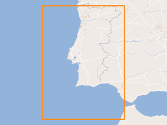
Within Portugal's National Biological Sampling Project (PNAB) a set of activities are conducted in the collection, management and use of biological data, collected from the registered commercial fleet in mainland Portugal (fisheries-dependent data) and several research surveys (independent fisheries data). These activities allow the assessment of the state of fishery resources, population structure, distribution and abundance of resources, diversity and dynamics of biological communities associated with the fishery resources and biological studies (growth, reproduction). This resource shows the geographic distribution of mediterranean horse mackerel abundancy index (nr. individuals/hour) registered during the PELAGO08 acoustic campaign in April 2008.
-

Within Portugal's National Biological Sampling Project (PNAB) a set of activities are conducted in the collection, management and use of biological data, collected from the registered commercial fleet in mainland Portugal (fisheries-dependent data) and several research surveys (independent fisheries data). These activities allow the assessment of the state of fishery resources, population structure, distribution and abundance of resources, diversity and dynamics of biological communities associated with the fishery resources and biological studies (growth, reproduction). This resource shows the geographic distribution of blue jack mackerel abundancy index (nr. individuals/hour) registered during the PELAGO08 acoustic campaign in April 2008.
-
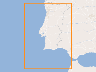
Within Portugal's National Biological Sampling Project (PNAB) a set of activities are conducted in the collection, management and use of biological data, collected from the registered commercial fleet in mainland Portugal (fisheries-dependent data) and several research surveys (independent fisheries data). These activities allow the assessment of the state of fishery resources, population structure, distribution and abundance of resources, diversity and dynamics of biological communities associated with the fishery resources and biological studies (growth, reproduction). This resource shows the geographic distribution of european anchovy abundancy index (nr. individuals/hour) registered during the PELAGO08 acoustic campaign in April 2008.
-
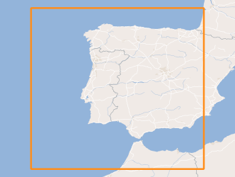
Three-hourly forecast maps of accumulated precipitation in mm/3h for the Iberian Peninsula, generated with the AROME model. The maps are generated twice a day, at 00UTC and 12UTC, with forecasts of the following 48 hours.