
openServiceType
openServiceType_undefined
2025 record(s)
Type of resources
Available actions
Topics
INSPIRE themes
Keywords
Contact for the resource
orgNameSNIG
Provided by
Years
Formats
Representation types
Update frequencies
Status
Service types
Scale
Resolution
geoDescCode
cartografia
geographicCoverage
geographicCoverageDesc
inspirecore
hvd
referenceDateRange
denominatorRange
resolutionRange
dataPolicy
openServiceType
dataType
dataFormat
-
-
Two beach profiles (P2 and P3) were collected at S. Pedro do Estoril, Cascais (Portugal) as part of shoreline monitoring exercises. Survey was conducted in a situation of low tide and these beach profiles run perpendicular to the shoreline. Profile location and a description of points used are available in profile data (.xls).
-
Levantamento topográfico à escala 1:1000, das parcelas 111/A e 111/C da Herdade da Comporta, no concelho de Alcácer do Sal, e área envolvente ao polígono de união das duas parcelas. O levantamento topográfico terminou em campo no dia 23-08-2020 e foram realizadas verificações dos elementos espacais nos dias 30 e 31-05-2020.
-
Serviço de catálogo de metadados do Sistema de Metadados dos Açores (SMA), conforme a especificação OGC CSW 2.0.2, que permite a pesquisa de metadados disponibilizados de forma a tornar possível a descoberta de informação geográfica da Região Autónoma dos Açores.
-
Serviço de catálogo de metadados do Sistema Nacional de Informação de Ambiente (SNIAmb), conforme a especificação OGC CSW 2.0.2, que permite a pesquisa nos metadados disponibilizados de forma a tornar possível a descoberta de informação geográfica e de documentos da Agência Portuguesa do Ambiente, I.P. (APA, I.P.)
-
Serviço de descarregamento do Modelo Digital do Terreno das zonas costeiras de Portugal Continental, numa faixa de 400 m em terra, com resolução de 1 m, obtido a partir de um levantamento com tecnologia LiDAR durante o ano de 2011.
-
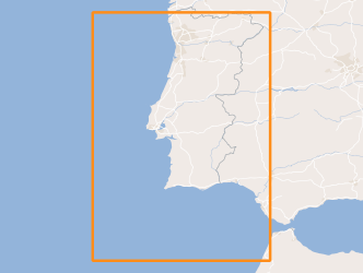
Within Portugal's National Biological Sampling Project (PNAB) a set of activities are conducted in the collection, management and use of biological data, collected from the registered commercial fleet in mainland Portugal (fisheries-dependent data) and several research surveys (independent fisheries data). These activities allow the assessment of the state of fishery resources, population structure, distribution and abundance of resources, diversity and dynamics of biological communities associated with the fishery resources and biological studies (growth, reproduction).The spring acoustic surveys are usually held in April/May with the ship "Noruega" and cover the Portuguese continental waters and the Spanish waters of the Gulf of Cadiz, between 20 and 200m deep.
-
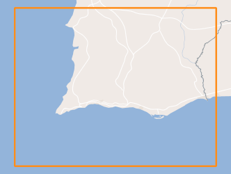
Within Portugal's National Biological Sampling Project (PNAB) a set of activities are conducted in the collection, management and use of biological data, collected from the registered commercial fleet in mainland Portugal (fisheries-dependent data) and several research surveys (independent fisheries data). These activities allow the assessment of the state of fishery resources, population structure, distribution and abundance of resources, diversity and dynamics of biological communities associated with the fishery resources and biological studies (growth, reproduction).This resource shows the geographic distribution of deep-water rose shrimp abundancy index (nr. individuals/hour) registered during the CRUSTACEOS2009 campaign in June 2009.
-
Cartografia Topográfica nivel de detalhe NdD1 - Levantamento cartográfico, para o projeto “EN8 Loures Km7+700 e Malveira Km23+270” (66ha)
-
Modelo Digital do Terreno do Município de São Brás de Alportel e Tavira com um espaçamento de 2 m.