Keyword
Informação geocientífica
201 record(s)
Type of resources
Available actions
INSPIRE themes
Provided by
Years
Formats
Representation types
Update frequencies
Status
Service types
Scale
Resolution
geoDescCode
cartografia
geographicCoverage
geographicCoverageDesc
inspirecore
hvd
referenceDateRange
denominatorRange
resolutionRange
dataPolicy
openServiceType
dataType
dataFormat
-
A Carta de Ocupação do Solo do Concelho de Redondo foi realizada com base no Corine Land cover de 2005, fornecido pela AMDE (Associação de Municípios do Distrito de Évora). A legenda foi reclassificada consoante o que se pretende representar pelo Gabinete SIGRED.
-
•Classifica a ocupação do solo em três níveis de desagregação: classes e subclasses e tipo de ocupação. •Esta carta de sub-classes de ocupação do solo foi elaborada no âmbito de revisão do PDM.
-
Informação relativa às formações geológicas e as constituições litológicas (áreas e falhas geológicas)do concelho de Vila Franca de Xira às escalas 1:25 000, 1:50 000 e 1:100 000.
-
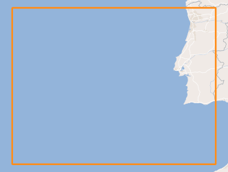
Geology and Geomorphology of offshore Portugal in the Quaternary period, using as reference the Geological Chart of the Immersed Area, Scale 1: 2 000 000, of the Geological Chart of Portugal, Scale 1: 1 000 000. National Laboratory of Energy and Geology (LNEG) 2010 .
-

The TOPOMED-FREEZE campaign was organized as a joint campaign of the TOPOMED and FREEZE projects sponsored by the Fundação para a Ciência e a Tecnologia (FCT) (Plate reorganization in the western Mediterranean: lithospheric causes and topographic consequences, TOPOEUROPE/0001/2007; Submarine FREshwater dischargEs: characteriZation and Evaluation study on their impact on the Algarve coastal ecosystems, PTDC/MAR/102030/2008). These two projects share complementary study areas and objectives. The first concentrates on the effects of neotectonics on the evolution of landscape and environments and the second on the investigation of Submarine Fresh-Water Discharges.
-
Cartas Geológicas do município de Montijo 1:25000.
-
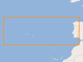
Location of structures resulting from the submarine fluids emissions, such as: mud volcanoes (methane hydrates); Pockmaks (methane) and hydrothermal vents (fluids enriched in salts and metallic elements), located between the Mid-Atlantic Rift zone (Azores archipelago) and the continental margin.
-
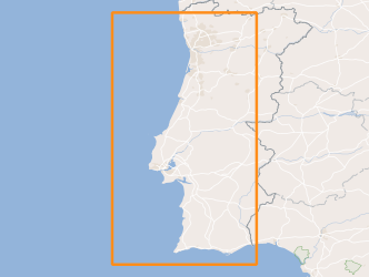
Sedimentological characterization of part of the continental shelf. Folk classification (7 classes).
-
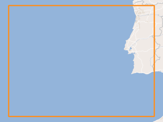
Geology and Geomorphology of the portuguese offshore of the Pre-Quaternary, using as reference the Geological Chart of the Immersed Area, Scale 1: 2 000 000, of the Geological Chart of Portugal, Scale 1: 1 000 000. National Laboratory of Energy and Geology (LNEG) 2010 .
-
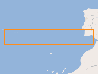
Areas that evidence the occurrence of submarine landslides, located between the Middle Atlantic Rift zone (Azores archipelago) and the Continental margin.
