Keyword
Geologia
128 record(s)
Type of resources
Available actions
INSPIRE themes
Provided by
Years
Formats
Representation types
Update frequencies
Status
Service types
Scale
Resolution
geoDescCode
cartografia
geographicCoverage
geographicCoverageDesc
inspirecore
hvd
referenceDateRange
denominatorRange
resolutionRange
dataPolicy
openServiceType
dataType
dataFormat
-
Carta de Declives em formato Grid produzida a partir do modelo digital de terreno
-
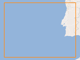
Geology and Geomorphology of offshore Portugal in the Quaternary period, using as reference the Geological Chart of the Immersed Area, Scale 1: 2 000 000, of the Geological Chart of Portugal, Scale 1: 1 000 000. National Laboratory of Energy and Geology (LNEG) 2010 .
-
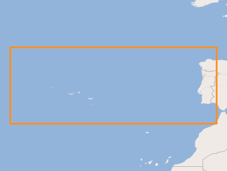
Location of structures resulting from the submarine fluids emissions, such as: mud volcanoes (methane hydrates); Pockmaks (methane) and hydrothermal vents (fluids enriched in salts and metallic elements), located between the Mid-Atlantic Rift zone (Azores archipelago) and the continental margin.
-
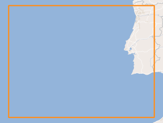
Geology and Geomorphology of the portuguese offshore of the Pre-Quaternary, using as reference the Geological Chart of the Immersed Area, Scale 1: 2 000 000, of the Geological Chart of Portugal, Scale 1: 1 000 000. National Laboratory of Energy and Geology (LNEG) 2010 .
-
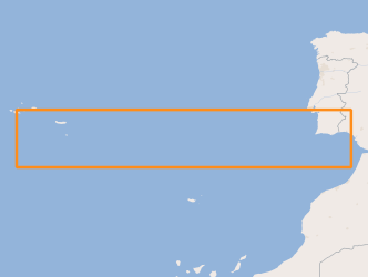
Areas that evidence the occurrence of submarine landslides, located between the Middle Atlantic Rift zone (Azores archipelago) and the Continental margin.
-
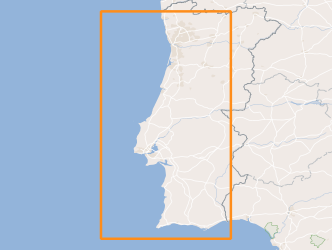
Sedimentological characterization of part of the continental shelf. Folk classification (7 classes).
-
.png)
Carta Geológica da Ilha da Madeira de 2010, constituida pelas folhas A e B, produzida à escala 1/50000.
-
Cartas Geológicas do município de Montijo 1:25000.
-
Base de Dados constituída pelo conjunto de ocorrências termais do continente, onde consta o nome, localização, início e fim de época, indicações terapêuticas e se estão em atividade ou não.
-
Carta geológica preparada por Fernando Moitinho de Almeida com base na Carta Geológica de Lisboa à escala 1:20 000 publicada em 1940 e no esquema do Complexo Basáltico de Lisboa de G. Zbyszewski publicado em 1952. Informação mais detalhada de cada uma das folhas disponível através dos seguintes endereços: Folha 1 - https://sig.lneg.pt/metadados/catalog/search/resource/details.page?uuid=94b5ccc6ac5a4677ad63927bae9d8048 Folha 2 - https://sig.lneg.pt/metadados/catalog/search/resource/details.page?uuid=e9c4b07ed3404489af8980a4de99c47f Folha 3 - https://sig.lneg.pt/metadados/catalog/search/resource/details.page?uuid=8d7c029acd7346e9bc9366d92d13f77b Folha 4 - https://sig.lneg.pt/metadados/catalog/search/resource/details.page?uuid=d9bbb46be0d14af0b8025cbec954fd5d
