Keyword
Geoscientific information
54 record(s)
Type of resources
Topics
INSPIRE themes
Keywords
Contact for the resource
Provided by
Representation types
Update frequencies
Scale
-
The Geothermal Atlas of Mainland Portugal is a mission-driven project of fundamental importance for the geothermal knowledge of the country, systematically carried out at the National Laboratory of Energy and Geology (LNEG) for over 30 years. It was created following other mapping projects, incorporating diverse information from various data sources obtained for different purposes, from different institutions, and harmonized and processed in a way that allows it to be applied to information, dissemination, training, promotion, and research on geoenergy in mainland Portugal, thus serving as a lever for the sector's development. It constitutes a dynamic and constantly updated research effort, integrating various parameters from diverse origins applicable to geoenergy studies. Its integrated and homogenized processing allows for a visualization of the country's geothermal characteristics on a national scale and can be used to determine geothermal potential at various scales. As sources of information for the production of geothermal mapping of mainland Portugal, processed and directed towards the various types of geothermal energy and geothermal exploitation, the first works began more than 40 years ago, forming the basis of Portuguese contributions to successive European Atlases of Geothermal Resources, the last of which was published in paper in 2002 with updates published in 2025 in the European Geological Data Infrastructure. This information is constantly complemented by additional geothermal information, whose original acquisition was made for geothermal purposes, and also by information acquired for other geoscientific objectives. The incorporation of information is done according to established criteria.
-

Geology and Geomorphology of offshore Portugal in the Quaternary period, using as reference the Geological Chart of the Immersed Area, Scale 1: 2 000 000, of the Geological Chart of Portugal, Scale 1: 1 000 000. National Laboratory of Energy and Geology (LNEG) 2010 .
-
COMET's Database. The dataset for Portugal was updated in the framework of project CSA-GSEU, WP3 Geoenergy, Geological storage thematic working group.
-
Database that stores and catalogues thin sections and polished surfaces, as well as the corresponding source samples, providing a valuable resource for the scientific community.
-

Areas that evidence the occurrence of submarine landslides, located between the Middle Atlantic Rift zone (Azores archipelago) and the Continental margin.
-

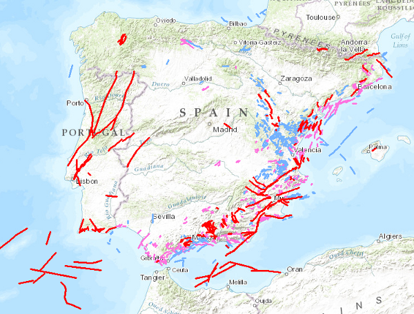
QAFI is a database of faults with geological evidence of proven activity during the Quaternary period (the last 2.6 million years according to the limit officially established by the SQS in 2009) of the Iberian Peninsula.
-

Geology and Geomorphology of the portuguese offshore of the Pre-Quaternary, using as reference the Geological Chart of the Immersed Area, Scale 1: 2 000 000, of the Geological Chart of Portugal, Scale 1: 1 000 000. National Laboratory of Energy and Geology (LNEG) 2010 .
-
-
Maps of geological formations and storage units with CO2 storage potential in mainland Portugal and its respective continental shelf. The maps were obtained from geological studies, mechanical drilling data, and reflection seismic data. These maps and database are an update from the COMET, CO2STOP, and HYSTORIES projects, carried out in the framework of the CSA-GSEU project, namely WP3 Geoenergy and Tematic Working Group CO2 and H2 Storage. An age correction of the potential storage units was performed.
-
